OpenSeaMap 3.4
Paid Version
Publisher Description

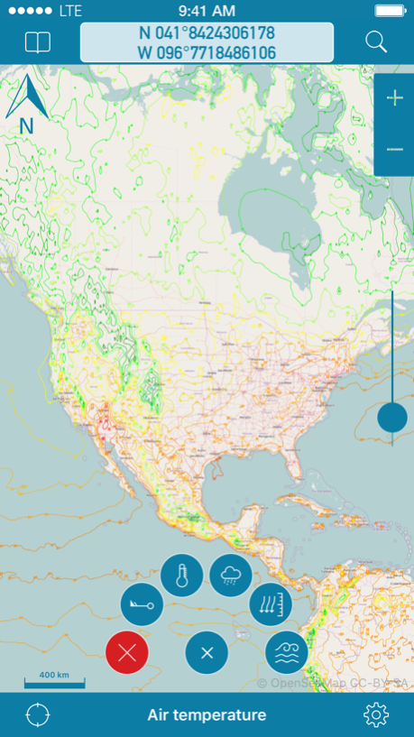
OpenSeaMap is a worldwide Opensource-project for creating a free nautical chart. Founded in 2009 the project gained a lot of attention lately adding more and more nautical information for free. Not even lights and other nautical infos are provided, but also more and more info layers like weather data, information about harbours and so on. As an add on to the OpenStreetMap this provides all missing info for nautical activities. OpenSeaMap is part of OpenStreetMap and uses the same database.
FEATURES:
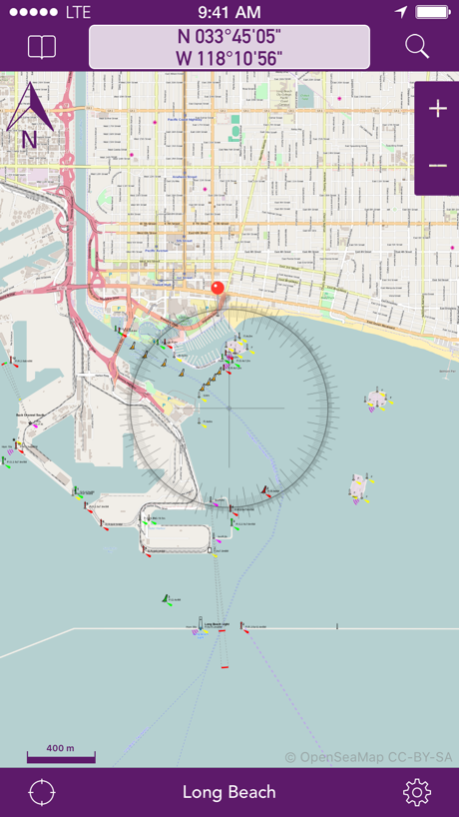
- Free worldwide sea chart (incl. HD chart graphics)
- Search for geolocations worldwide
- Chartplotting with continuous tracking
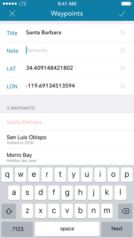
- Waypoints can easily be created, edited, deleted & exported
- Mark locations in the chart
- Zoom chart optically to fit your preferred reading size
- Enter coordinates directly to be displayed in the chart
- Offline caching of up to 1 million map tiles
- Cleanup of chart cache data at any time
+++ NEWS +++ NEWS +++ NEWS +++ NEWS +++
OpenSeaMap app now comes with new In-App-Product "PRO"
this product activates professional features if bought.
NEWS +++ NEWS +++ NEWS +++ NEWS +++ NEWS
To ensure future development and support of the OpenSeaMap app we encourage you to buy the In-App-Product "PRO". This will help keeping new updates and features coming.
DISCLAIMER: OpenSeaMap is part of the OpenStreetMap and uses the same database. As an experienced navigator you should NEVER rely your descisions on one source of information alone. Please keep in mind that the OpenSeaMap can not replace official sea charts on bord of your boat. Please use the OpenSeaMap app only in conjunction with official sea charts and conforming to national and international regulations. Please recognize that no depth information is provided by this product.
IMPORTANT: The continued use of the GPS can significantly decrease the battery level.
LICENSE: This app uses icons from the library http://icons8.com/ we thank for providing these under Creative Commons Attribution-NoDerivs 3.0 Unported License.
May 17, 2017
Version 3.4
This app has been updated by Apple to display the Apple Watch app icon.
- Improved information for customers
About OpenSeaMap
OpenSeaMap is a paid app for iOS published in the Recreation list of apps, part of Home & Hobby.
The company that develops OpenSeaMap is appdoctors UG. The latest version released by its developer is 3.4. This app was rated by 1 users of our site and has an average rating of 3.0.
To install OpenSeaMap on your iOS device, just click the green Continue To App button above to start the installation process. The app is listed on our website since 2017-05-17 and was downloaded 84 times. We have already checked if the download link is safe, however for your own protection we recommend that you scan the downloaded app with your antivirus. Your antivirus may detect the OpenSeaMap as malware if the download link is broken.
How to install OpenSeaMap on your iOS device:
- Click on the Continue To App button on our website. This will redirect you to the App Store.
- Once the OpenSeaMap is shown in the iTunes listing of your iOS device, you can start its download and installation. Tap on the GET button to the right of the app to start downloading it.
- If you are not logged-in the iOS appstore app, you'll be prompted for your your Apple ID and/or password.
- After OpenSeaMap is downloaded, you'll see an INSTALL button to the right. Tap on it to start the actual installation of the iOS app.
- Once installation is finished you can tap on the OPEN button to start it. Its icon will also be added to your device home screen.
